
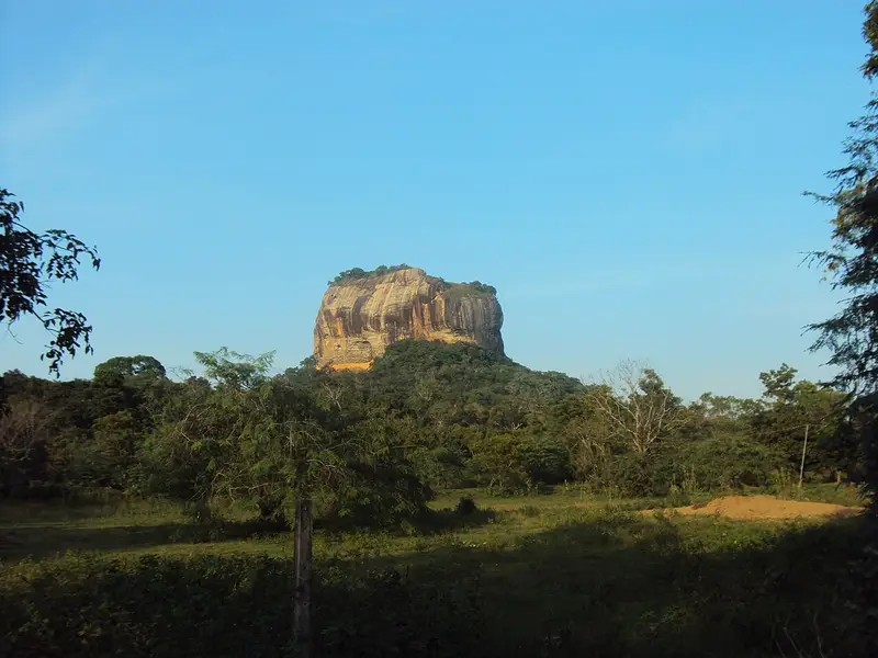
Photo: “Sigiriya rock from a distance”, Wikimedia Commons user Yourusernamewillbepublic2 · CC0 · Wikimedia Commons. Cropped and resized for the web.

SRI LANKA · 5TH CENTURY AD
Sigiriya
සීගිරිය
King Kassapa I (477–95) built his capital on the Lion’s Rock, a granite outcrop some 180 m high that rises above the surrounding jungle, and its ruins cover both the steep sides and the top. The way up led through the open mouth of a colossal brick-and-plaster lion, from which galleries and stairways climbed the rock.
- Original name
- සීගිරිය
- Country
- Sri Lanka
- Period
- 5th century AD
- Civilisation
- Sinhalese
- UNESCO
- On the World Heritage List
- Location
- 7.9570° N, 80.7603° E Open in OpenStreetMap Open in Apple Maps
Open in the app Coming soon to the App Store
If Antigone is installed, this button opens the city straight in the app.
A QUESTION FROM THE ROAD
Who built Sigiriya as his capital?
The answer, and all of the city’s lessons, are in the app.