
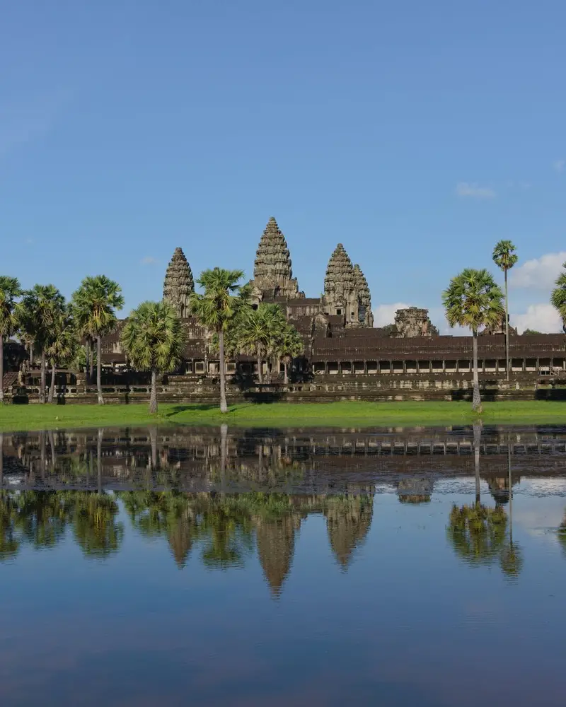
Photo: “Angkor Wat with its reflection”, Satdeep Gill · CC BY-SA 4.0 · Wikimedia Commons. Cropped and resized for the web.

CAMBODIA · 9TH–15TH CENTURIES AD
Angkor Wat
អង្គរវត្ត
The Khmer Empire rebuilt its capital several times between the 9th and 15th centuries, and the ruins of these cities fill Angkor Archaeological Park, which covers some 400 km². Best known are the temple of Angkor Wat and the Bayon in Angkor Thom.
- Original name
- អង្គរវត្ត
- Country
- Cambodia
- Period
- 9th–15th centuries AD
- Civilisation
- Khmer
- UNESCO
- On the World Heritage List
- Location
- 13.4125° N, 103.8670° E Open in OpenStreetMap Open in Apple Maps
Open in the app Coming soon to the App Store
If Antigone is installed, this button opens the city straight in the app.
A QUESTION FROM THE ROAD
How large is the Angkor Archaeological Park?
The answer, and all of the city’s lessons, are in the app.