
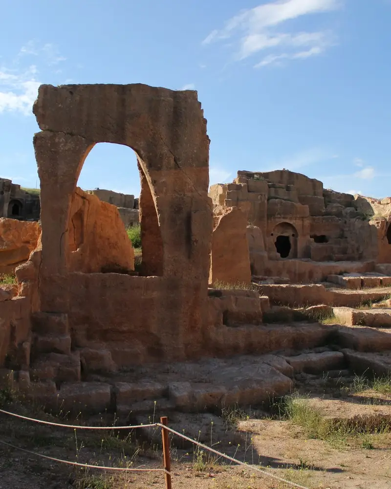
Photo: “Dara Nekropol Alanı”, Hamdigumus · CC0 · Wikimedia Commons. Cropped and resized for the web.

TÜRKIYE · AD 503–507 (ANASTASIUS) AND LATER
Dara Archaeological Site
Δάρας
Dara looks out over the Mesopotamian plain from the southern foot of the Tur Abdin mountains, 30 km south-east of Mardin. Still a small place at the start of the 6th century, it was picked by the Eastern Roman emperor Anastasius I as a garrison town; his building campaign of 503–507 turned it into the administrative and military base for Mesopotamia, and it took his name as Anastasiopolis. The Sasanians held it in 577–591 and again in 606–620, and the Eastern Romans had it back from 620 to 639.
- Original name
- Δάρας
- Country
- Türkiye
- Period
- AD 503–507 (Anastasius) and later
- Civilisation
- Roman
- Location
- 37.1777° N, 40.9485° E Open in OpenStreetMap Open in Apple Maps
Open in the app Coming soon to the App Store
If Antigone is installed, this button opens the city straight in the app.