
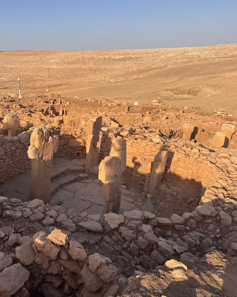
Photo: “Karahan Tepe”, Campels · CC0 · Wikimedia Commons. Cropped and resized for the web.

TÜRKIYE · NEOLITHIC
Karahantepe Archaeological Site
Karahantepe
Karahantepe occupies a limestone rise 55 km from the centre of Şanlıurfa, inside Tek Tek Mountains National Park. On the evidence of field survey and geomagnetic readings, the site falls into four zones. On the western and eastern terraces the heads of T-shaped pillars break the surface; the Southern Plain is strewn with grinding stones; and in the ‘Quarries’ the pillars were cut from the bedrock.
- Original name
- Karahantepe
- Country
- Türkiye
- Period
- Neolithic
- Civilisation
- Neolithic
- Location
- 37.0929° N, 39.3036° E Open in OpenStreetMap Open in Apple Maps
Open in the app Coming soon to the App Store
If Antigone is installed, this button opens the city straight in the app.
A QUESTION FROM THE ROAD
By which methods are four sections of Karahantepe distinguished?
The answer, and all of the city’s lessons, are in the app.