
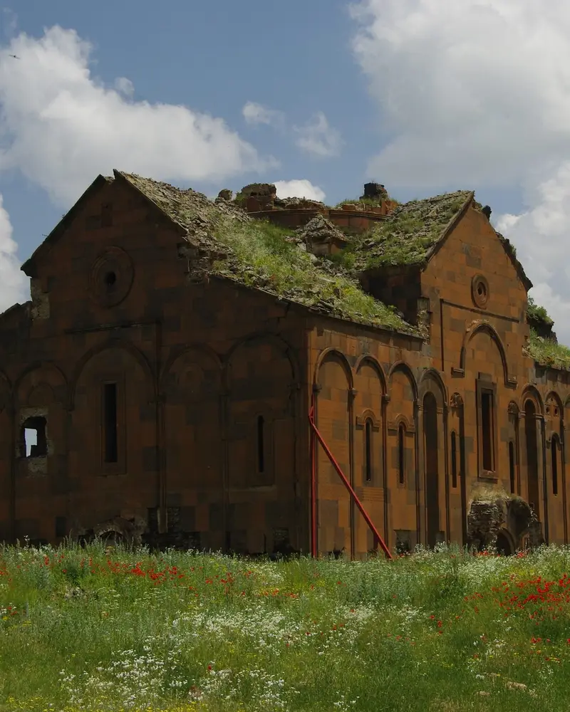
Photo: “Cathedral of Ani”, Martin Lopatka · CC BY-SA 2.0 · Wikimedia Commons. Cropped and resized for the web.

TÜRKIYE · 10TH–11TH CENTURIES AD
Archaeological Site of Ani
Անի
Ani’s heyday came in the 10th and 11th centuries, when it controlled a branch of the Silk Road. Houses, churches, mosques and walls raised under Christian and later Muslim rulers still stand side by side in this medieval city.
- Original name
- Անի
- Country
- Türkiye
- Period
- 10th–11th centuries AD
- Civilisation
- Armenian
- UNESCO
- On the World Heritage List
- Location
- 40.5073° N, 43.5720° E Open in OpenStreetMap Open in Apple Maps
Open in the app Coming soon to the App Store
If Antigone is installed, this button opens the city straight in the app.
A QUESTION FROM THE ROAD
Which trade route did Ani stand on?
The answer, and all of the city’s lessons, are in the app.