
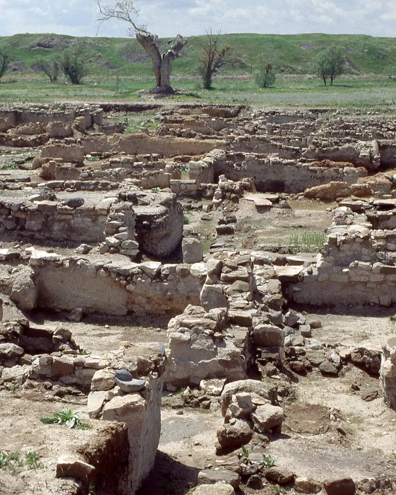
Photo: “Kultepe Karum excavations (1993) 01”, Mark Landon · CC BY 4.0 · Wikimedia Commons. Cropped and resized for the web.
_01.jpg)
TÜRKIYE · 2ND MILLENNIUM BC
Kültepe–Kanesh
Kaniš / Neša
Centre of the kingdom of Kanesh, Kültepe comprises an upper mound and lower karum and is renowned for the Old Assyrian trade network, tens of thousands of cuneiform tablets and early Anatolian–Syrian–Mesopotamian exchange.
- Original name
- Kaniš / Neša
- Country
- Türkiye
- Period
- 2nd millennium BC
- Civilisation
- Assyrian
- UNESCO
- On the World Heritage Tentative List
- Location
- 38.8510° N, 35.6354° E Open in OpenStreetMap Open in Apple Maps
Open in the app Coming soon to the App Store
If Antigone is installed, this button opens the city straight in the app.
A QUESTION FROM THE ROAD
What is the lower part of Kültepe called?
The answer, and all of the city’s lessons, are in the app.