
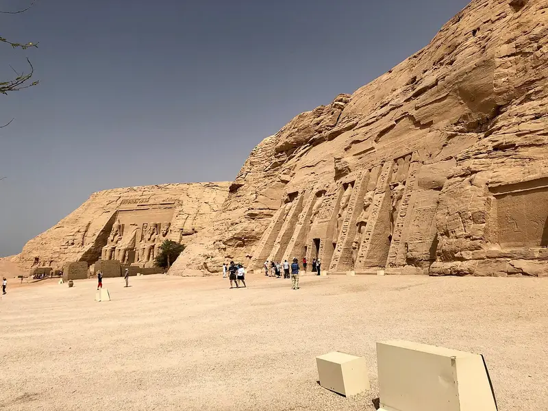
Photo: “Abu Simbel Temples, Abu Simbel, AG, EGY (48016635108)”, Warren LeMay · CC0 · Wikimedia Commons. Cropped and resized for the web.
.jpg)
EGYPT · 1264 BC
Abu Simbel
أبو سمبل
The Nubian monuments between Abu Simbel and Philae, Isis’s sanctuary at Philae and the temples Ramses II built at Abu Simbel among them, were threatened by the rising Nile. An international campaign run by UNESCO from 1960 to 1980 saved them.
- Original name
- أبو سمبل
- Country
- Egypt
- Period
- 1264 BC
- Civilisation
- Egyptian
- UNESCO
- On the World Heritage List
- Location
- 22.3372° N, 31.6258° E Open in OpenStreetMap Open in Apple Maps
Open in the app Coming soon to the App Store
If Antigone is installed, this button opens the city straight in the app.
A QUESTION FROM THE ROAD
Whose temples stand at Abu Simbel?
The answer, and all of the city’s lessons, are in the app.