
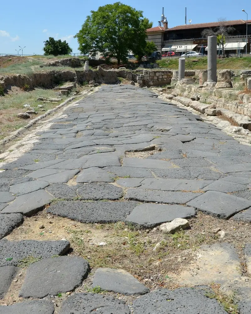
Photo: “Tarsus, Cilicia, Turkey (37495611872)”, Carole Raddato from FRANKFURT, Germany · CC BY-SA 2.0 · Wikimedia Commons. Cropped and resized for the web.
.jpg)
TÜRKIYE · NEOLITHIC–BYZANTINE PERIOD
Ancient Tarsus
Ταρσός
The remains of ancient Tarsus lie scattered through the modern town. Excavations that began in Cumhuriyet Square in 1993 uncovered a basalt-paved street thought to have been built by the Romans in the 1st century AD, while Gözlükule Mound, the city’s harbour in antiquity, was inhabited from the Neolithic to the Islamic period.
- Original name
- Ταρσός
- Country
- Türkiye
- Period
- Neolithic–Byzantine Period
- Civilisation
- Cilician
- Location
- 36.9177° N, 34.8928° E Open in OpenStreetMap Open in Apple Maps
If Antigone is installed, this button opens the city straight in the app.
Areas of the site
-
Ancient Street (Roman Road)
A basalt-paved Roman street, thought to date from the 1st century AD, uncovered in Cumhuriyet Square by excavations begun in 1993.
-
Gözlükule Mound
Settled from the Neolithic to the Islamic period, the mound served as the city’s harbour in antiquity.
-
Cleopatra Gate
The only surviving gate of the Byzantine walls; Cleopatra is said to have entered the city here in 41 BC.
-
St Paul’s Well
A 38 m deep well in the courtyard held to be the site of St Paul’s house, revered by pilgrims.
A QUESTION FROM THE ROAD
In what year did the excavations that uncovered the basalt-paved ancient street in Tarsus begin?
The answer, and all of the city’s lessons, are in the app.